Official source → disclosed higher-viewpoint study
A higher viewpoint:
what changes in the river view?
The developer published a real construction photograph identified as Floor 14. We use that frame as evidence, then test a clearly disclosed higher-camera scenario to understand how park canopy, open water and skyline may rebalance. It is a study of view geometry—not a claim about any particular residence.
The comparison
One official photograph. One disclosed scenario.
The images have different evidentiary status. The first is an official project progress photograph. The second is an AI-assisted explanatory composite guided by calibrated geometry. It is neither a photograph nor a survey projection, and it is not presented as the view from an identified home.
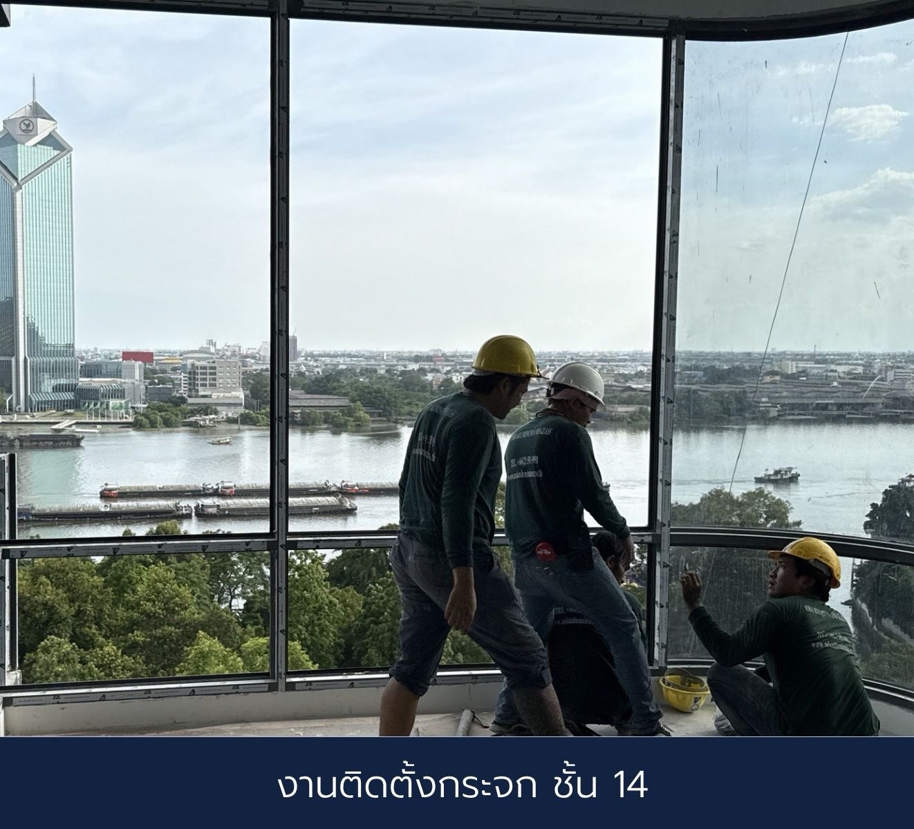
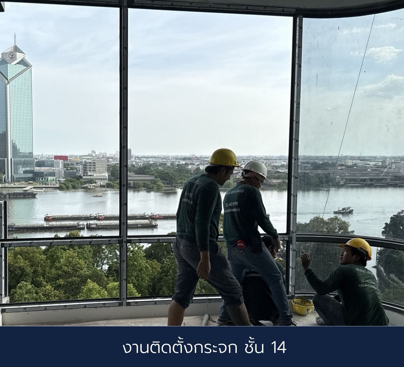 Floor 14 · official photograph
Source & image status
Published by One River Rama 3 on 15 August 2026. The embedded Thai caption identifies “glass installation · Floor 14.” View the developer’s original file.
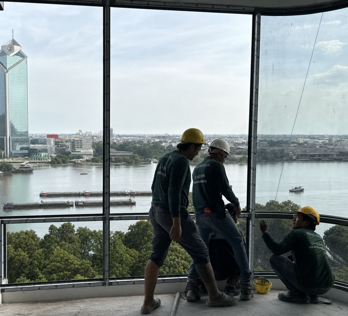 Higher viewpoint · analytical scenario
Method & image status
Derived from the official Floor 14 image using a controlled camera-height increase and depth-dependent parallax guidance. Image synthesis may alter transient details; use it to understand a possible composition, not to verify an object or exact pixel position.
How to read it
More water, while the green foreground remains.
The canopy moves most
Nearby tree crowns shift lower in the frame more than distant buildings. A higher viewpoint can reveal more water while retaining the garden-like foreground that gives the view depth.
The river becomes the centre
A wider open-water band strengthens the calm river identity. Barges and small craft remain part of the living view rather than becoming tiny skyline details.
The horizon barely changes
Distant skyline and the KBank landmark move only slightly. The meaningful change is foreground clearance—not a different city panorama.
Method & sourcesControls, uncertainty and supporting records
Method, not magic
What is controlled—and what is still unknown.
Controlled inputs
- Approved EIA source level: Floor 14 at +48.90 m.
- A river-facing orientation taken from the approved floor plate, without identifying a private home.
- A 204° working façade normal and OpenStreetMap-derived shoreline intersections.
- Photo-registered KBank landmark direction as an independent cross-check.
Uncertainty retained
- No retained EXIF, surveyed eye station, focal length or lens-distortion profile.
- The official caption identifies Floor 14, but not the photographed home.
- Camera registration carries approximately ±10–15 m plan/map uncertainty.
- Tree form, water level, boats, weather and future far-bank development will change.
- The scenario does not establish a protected, permanent or unobstructed view.
Working river-normal controls are approximately 172.24 m to the near bank and 670.68 m to the far bank from the provisional analysis camera. OpenStreetMap geometry is not a cadastral or hydrographic survey. Sources: official One River progress page, approved EIA record and OpenStreetMap river geometry.
Design implication
The view already has three layers. The room should not compete.
Green canopy, open water and the far skyline form a naturally balanced composition. A view-led interior should keep the furniture horizon low, control reflections and use quiet materials that frame this sequence instead of overpowering it.